Welcome to the final Edition of our LAND HUB Project newsletter.
Mackay Whitsundays – Moon Farming
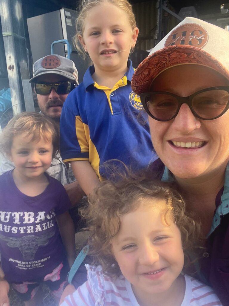
Mark and Rita Cameron own Moon Farming, a 140 ha cane growing enterprise on two properties at Carmila West, Carmila in the Plane Creek district of the Central Region. They operate the property together with their daughter Ellie & her husband Matthew Boyd.
The Camerons have farmed in the district for two generations and for three in the Central Region. Mark’s farming has been done in conjunction with rostered mining work, week on week off. Moon Farming joined the LAND project late in 2021. They have not participated in any project-based farming practice change prior to this. Moon Farming’s motivation was to build the capacity to develop and work to a nutrient management plan. To date, all farm records have been paper-based. They had not tried any other digital record or decision support platforms. Mark and Rita’s aspiration is for sustainable farming and business, with family succession to take over and allow more time for fishing.
The 2023 harvest and operations proceeded well. However, ill health hospitalised Mark in 2023 and into 2024 for an extended period. With risk of the wheels falling off, daughter Ellie and son-in-law Matt, who live locally on the second property, stepped in, and took control of operations. In line with Moon’s farming practice change to implement and work to a whole of farm nutrient management program, it was important to finalise fertiliser records for 2023 and to roll the program over to 2024. Additionally, in relation to soil sampling, Mark had always taken his own fallow paddock soil samples, using a local agency to access a reputable accredited laboratory service and to provide interpretation.
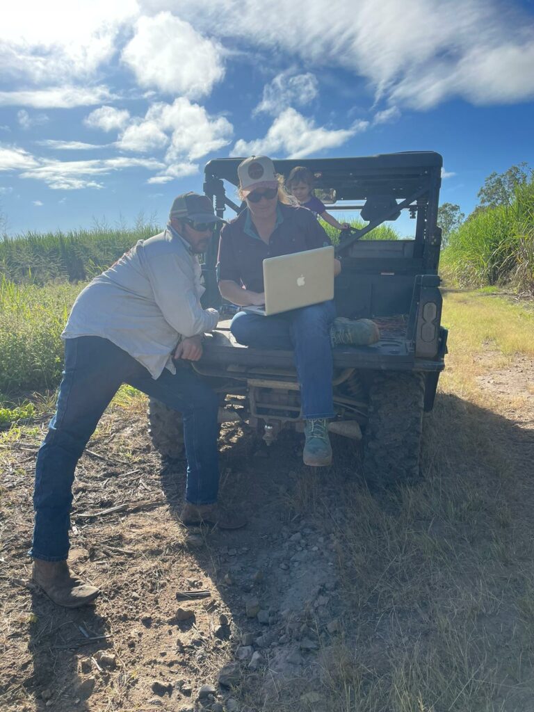
Working with their agronomist as part of the LAND program, Matt and Ellie were linked into LAND Hub and the Moon Farming database. This was a baptism of fire, as until then they had not had any experience in using LAND Hub. An advantage of working with smart young farmers is that they picked it up instantly, they got it! And all of this while working just on a smartphone, while the laptop is away for repairs. This is an excellent illustration of Agtech being used, and the appetite of young farmers.
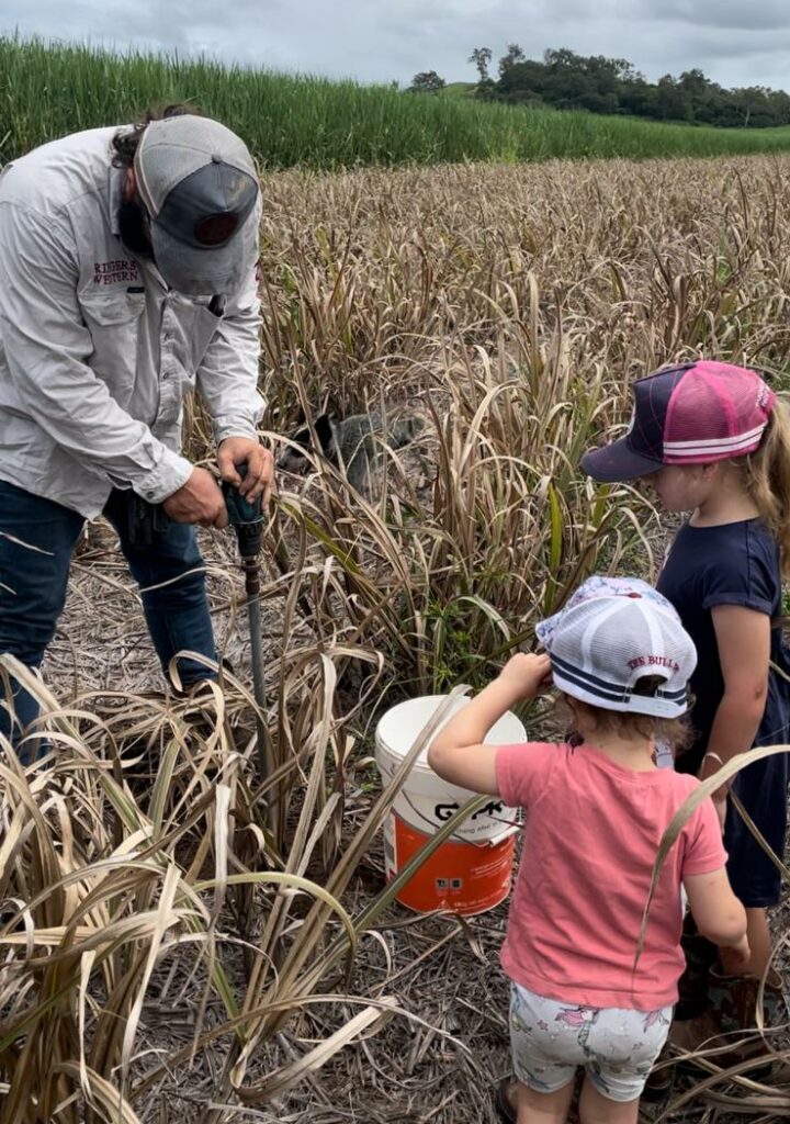
Soil samples were required for 2024. With accredited agronomy support and supervision on paddock sampling plans, using state of the art sampling augers and sampling method, Matt and Ellie successfully sampled and dispatched the requisite samples in record time. This process facilitated the rapid turnaround of samples and the analysis results and agronomy interpretation. The sample data are already uploaded into the LAND Hub platform and form part of the nutrient management plan for 2024.
Future Goals
Reflecting on their progress to data, Ellie comments; ‘For us to work effectively we want data, and we want access to it, we can see how all of this comes together for our informed decision making for our farming. If we don’t have this, we are like dinosaurs’.
We look to incorporate the smart phone app with the laptop / web-based LAND Hub platform. (It took Ellie and Matt only few seconds to find and download the app once they learned of its existence)!
Mark and Rita have given assent. Moon Farming will continue using LAND Hub in 2024, post the project.
Additionally, in seeking soil condition improvement, they will incorporate more legume-based fallow into the farming system, together with soundly based crop nutrition. Rostered work away from the farm has always meant that time is short. Timing of operations has suffered, and legumes have not always been included in fallow.
From a senior farm management level, in 2024, it will be noted if there is also more time to use the boat for fishing.
Lower Herbert – A younger generation cane farmer with a bright future
John Board is a younger generation cane farmer with a bright future ahead for him and his young family. He has chosen to invest his future in cane farming in the Herbert region. He started out purchasing his own small farm of around 36 ha in 2014, and in 2022 through succession planning has taken over the majority of his father’s larger farm, and in 2023 added an additional lease farm to his operations. John now manages 280 ha plus helps his father on his remaining 55 ha. He is also a contract harvester operator and shares this role 50/50 with another operator.
The LAND project has helped John to refine his fertiliser management decisions on the farm and implement some ideas, that without the project, would have otherwise been unlikely. EM data and drone imagery was taken across the whole farm and is data that will provide value for future decision making.
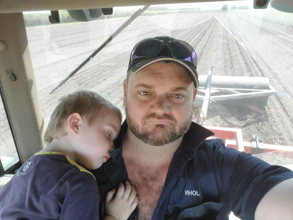
“The LAND project has given me so much extra information about my underlying soils. With the EM mapping there is a wealth of information, showing changes in soil type and being able to investigate that further with the extra soil sampling and then implement changes in my fertiliser program. I also undertook around 40 ha of variable rate application of nitrogen using the VR applicator. The crop from that will be harvested this year.”
John has also been an active LAND user.
“I have been using the LAND platform to manage my data in one place and keep all my records. It’s a simple process and the LAND App is easy to use. After initial set up on the home computer It’s all in my pocket on an app, it’s still early days really but I can already see the benefit of having this data so easy to record on the run.”
Whilst John’s aim like most farmers is to improve profitability through better crop health, production, and maximising efficiencies, he is fully aware that these improvements also contribute to water quality improvements on and off his farm. He is utilising every avenue he can, including nutrient management, mixed species cover crops in the fallow to manage both nutrient and sediment and looking to value add where possible in the future. His farm has numerous waterholes and sediment traps, loaded with wildlife, filtering any runoff before it leaves his property. Through changes in his fertiliser application budget John has managed to save 1,539 kg DIN / year from leaving his farm.
“The more nutrients we can get into the current crop without any wastage, the better the yield and the less there is to be lost through the system, a win for everyone and everything. Although most farmers are doing the right thing, it’s good insurance to have this data recorded and proven and available if needed.”
Tully Johnstone – New Ways for a Digital Future
Allen O’Kane has been sugar cane farming in the Feluga region for 24 years. Mick, Allen’s father, had been growing cane on the same property for about 60 years. Allen had only been back on the farm for 4 years when Mick passed away, taking with him 60 years of knowledge. As was common practice at that time, nothing was written down and no records were kept.
Having access to a platform like LAND at that time, would have been incredibly beneficial to Allen. Growing up in a world without computers in the early days Allen found even turning one on to be a challenge, but through time he took up this challenge and moved his data management into the digital space. He had been searching for a platform that would enable him to keep records and collect data for his cane farming operation but nothing suitable was available at the time, and Allen says “so it was a no brainer to join the LAND project when Maurice Shepherd from Liquaforce Tully offered the chance”. The project offered Allen a wealth of information for his farm, and something he could see adding future value that he could pass on. Although Allen knows his farm like the back of his hand, it now has tangible, solid and real data to back up years of experience.
Allen’s farm is currently on the market and for any potential investors it could save a lot of time spent learning things that Allen now has at the click of a button, seemingly a portal to the future. A wealth of information for all the soil types on his farm, with knowledge of their properties, nutrient requirements, structure and potential. The data in the LAND system includes EM data, drone imagery and current and historical soil samples.
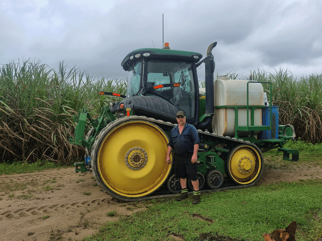
The LAND project also offered a solution to the time-consuming hours spent keeping records. This is now able to be done with the click of a button in the field, on the fly. He says “Yeah, it’s real easy now with LAND, and so much faster. I can see on my phone which fertilisers and rates are allocated across paddocks and just change the rate as I go and then set it as done when I’m finished the block.” The Tully LAND project growers were instrumental in development of the app and participated in the planning stages for the ideas that should be incorporated. Although the app development only had a small budget at the time, there where many ideas for future works and there is a huge potential for the inclusion of chemical application planning and records, harvest management, and tracking of workforce related jobs around the farm. An exciting future ahead.


